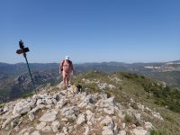
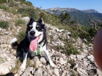
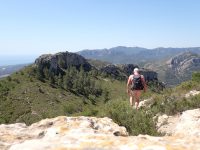
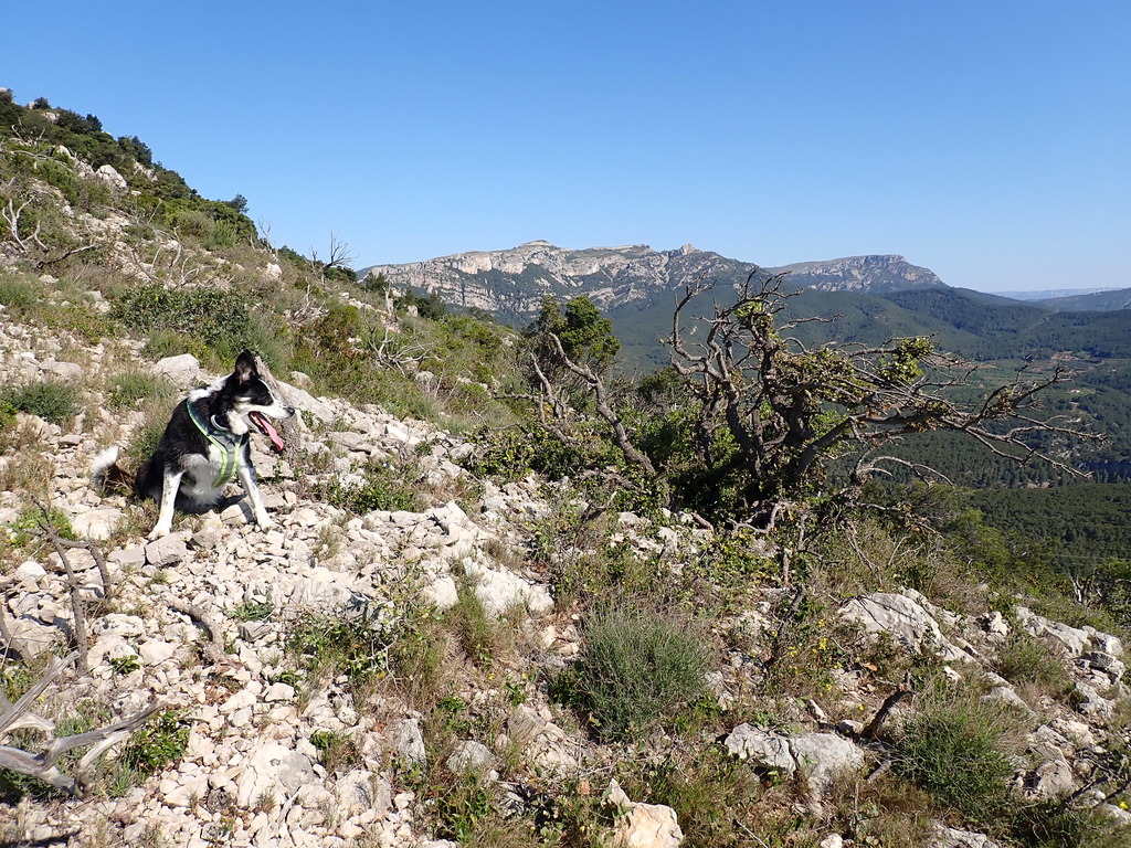
So Polly and I decided to venture up a local hill, which had been bothering me for some time. The first time I’d hiked over the summit, I’d had to go up to a col, directly across and around the back, losing a lot of height, and then steeply up the far side of the hill, to reach the summit. This time I’d resolved to try a bit of route-finding and from the col, head directly up the unmarked ridge instead.
We set off in warm conditions, me rapidly stripping off my clothing as the sweat began to seep through my shirt and shorts. Polly panting up behind me, we made our way past an almost dried up spring, through abandoned olive groves, and reached the col. From here was unknown territory as we wended our way up through some fairly sharp undergrowth heading for up the spine of the ridge. After some time, and not a little scratched shins and calves, we reached the upper part of the ridge. A promising gully seemed too s
 teep at the top, but we entered it any how, me pulling and man-handling the hapless Polly by her body harness, whenever it got a a bit too steep for her.
The head of the gully proved to be too steep and exposed for us to contemplate the last 10-20 metres, so we backtracked down again. This proving more difficult than the ascent, as is usual whenever a little scrambling is involved. Next, having regained a stable piece of ridge, we aimed off to the right and around to the side of the steep cliff above. Now the rocks and brush encouragingly offered odd glimpses of what might have been mistaken for signs of a track. We struck up through the trees and the scree into the dark recess of the top of the second gully.
Above us, a patch of bright blue shone through the shade, suggesting a route to the ridge above. We headed for it and, sure enough, stepped out onto the ridge, the views falling dramatically away in front of us, uninterrupted to the Mediterranean blue far below. Striding easily now through the still sharp bushes, we made our way along the ridge, huge views on all sides. The new route was the perfect alternative to the original, official, path.
We reached the summit and stopped for several photos and a bite to eat. E ven though this was a sunny Saturday in May there was not a person in sight. A deep draught of cool water from our bottles was particularly welcome for the both of us, panting in the heat and maybe a little exhaustion. Hiking in Spain is not to be undertaken without sufficient water reserves! Checking the map again we next headed down the ridge sloping away to the south, following the small but easy path alongside it’s crest. We passed a couple of surprised but friendly couples on the trail, with whom we exchanged the customary mountain courtesies of wishing them a fine day.
The descent from the ridge was fairly steep and gravelly and wove past the entrance to several mine entrances. It was a place where it’s very easy to slip unintentionally, and painfully. Without mishap we made it down the slope and entered the realm of olive trees once more. A short diversion up to a local castellet, and then back to the car, where I got dressed again for the drive home. Probably unneccessary at this point, but a little shade from the fierce Spanish sun was actually quite welcome.
I think Polly quite enjoyed the hike too.


Nice write-up about nude hike of two naked friends… 🙂